


Yeonnam-dong to Mangwon (2026): A 4-Hour Mapo Walking Route With Map — Park, Cafés, Market and the Han River
October 30, 2026 | by Korea Bestie
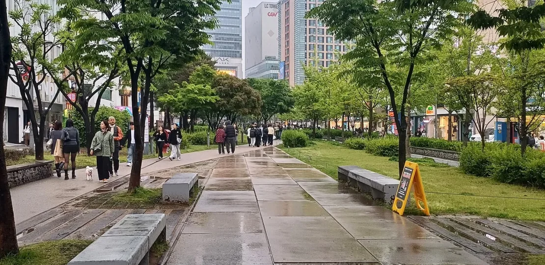
West Seoul’s calmer side: start in the leafy Gyeongui Line Forest Park in Yeonnam-dong, wander café lanes, cross to Mangwon Market for cheap, famous snacks and finish with a picnic and sunset at Mangwon Hangang Park. It’s a free, slow afternoon a few minutes from Hongdae.
Last checked: October 2026. Facts come from our Yeonnam-dong and Mangwon guides; shops and hours change, so confirm on Naver Map on the day. Dollar figures use about 1,330 KRW = 1 USD (October 2026).
Quick answer
- Time: about 4 hours, ending at sunset.
- Start / end: Hongik University Station Exit 3 — end at Mangwon Station (Line 6).
- Budget: free to walk; coffee 5,000–7,000 KRW, market snacks a few thousand won each.
- Best day: a weekday afternoon; weekends are crowded in the park and market.
- Bring: a small mat for the river, and cash for the market.
On this page
First time in Korea? Start here: our step-by-step guide from landing to your first day.
Where does the route go?
Numbers show the order; the dashed line links the stops in a straight line, not the exact walking path. For turn-by-turn directions, tap Open in Naver Map under each stop (why Naver Map).
How does the day look at a glance?
| Time | Stop | Walk to next | Budget |
|---|---|---|---|
| 14:00 | 1. Hongik University Station Exit 3 | ~2 min | Free |
| 14:10 | 2. Gyeongui Line Forest Park (Yeontral Park) | ~5 min | Free |
| 14:45 | 3. Yeonnam-dong café lanes | ~25 min | Coffee 5,000–7,000 KRW |
| 16:00 | 4. Mangwon Market | ~12 min | Snacks 10,000–15,000 KRW |
| 17:00 | 5. Mangwon Hangang Park | ~15 min | Drinks from the park store |
| 18:30 | 6. Mangwon Station | — | — |
What will I see at each stop?
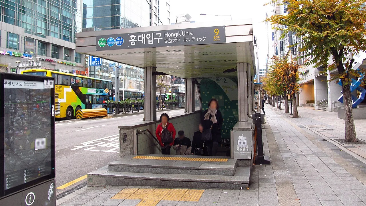
1. Hongik University Station Exit 3 (홍대입구역 3번출구)
Come out of Exit 3 at Hongik University Station; the park starts right there.
2. Gyeongui Line Forest Park (Yeontral Park) (경의선숲길 연남동)
Walk north along the Gyeongui Line Forest Park, built over an old railway; locals call this stretch Yeontral Park. Lawns, trees and a little stream, busiest on weekend afternoons. More in our Yeonnam-dong guide.

3. Yeonnam-dong café lanes (연남동 카페거리)
Duck into the side streets on either side for concept cafés, bakeries and small shops, many on second floors or rooftops.
4. Mangwon Market (망원시장)
Walk west (about 25 minutes) or take a short taxi to Mangwon Market for croquettes, dakgangjeong, hotteok and more. Buy snacks to go. See our Mangwon Market guide.
5. Mangwon Hangang Park (망원한강공원)
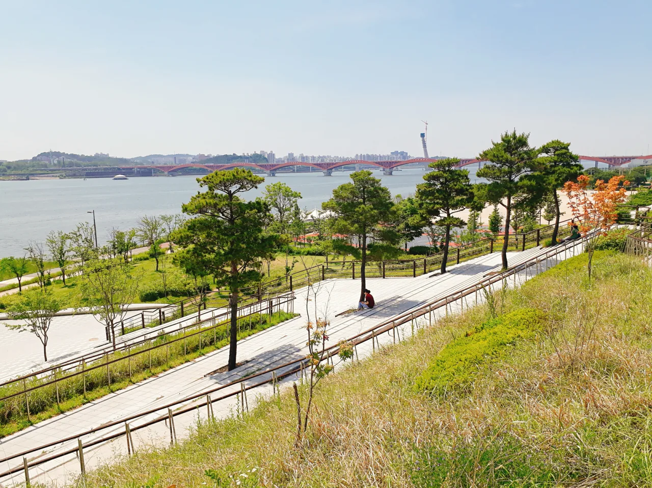
Walk south to Mangwon Hangang Park for a riverside picnic and sunset; convenience stores in the park sell drinks.
6. Mangwon Station (망원역)
Walk back up to Mangwon Station (Line 6), or take a taxi back to Hongdae for the evening.
How can I change the route?
- Shorter: skip the café lanes and go straight from the park to Mangwon Market by taxi.
- Night out: reverse it and finish in Hongdae for street performances and nightlife: Hongdae at night.
- Rainy day: Mangwon Market is covered; pair it with Hongdae’s indoor shops.
Tips for this route
- Mangwon Market is busiest on weekend afternoons; go mid-week if you can.
- Many snack stalls prefer cash.
- In summer, wait until after 5 p.m. for the river; there’s little shade.
Is this route accessible?
The forest park and the riverside paths are flat and paved, good for strollers and wheelchairs. The Yeonnam side streets are narrow, and Mangwon Market’s lanes are covered but crowded. Check elevator exits at Hongik University and Mangwon stations in Naver Map.
Nearby on Korea Bestie
- Yeonnam-dong guide — park and cafés
- Mangwon Market — what to eat
- Hongdae guide — the busy neighbor
- Hotels in Hongdae — stay nearby
How much will this trip cost?
Pick your group, nights, hotel type and food style — get a realistic budget range in seconds.
FAQ
How far is Yeonnam-dong from Mangwon Market?
About 25 minutes on foot, or a short taxi ride.
Is this route good for a first visit?
Yes, especially if you’re staying around Hongdae and want a slower afternoon.
Can I do it in winter?
Yes, but keep the river stop short and add a café; it’s cold and windy by the water.
Free: Seoul in 3 Days planner (PDF)
A 4-page printable plan with timings, closed days, Korean names to show taxi drivers, a budget and rainy-day swaps. Enter your email and we’ll send it, plus occasional new Korea guides (unsubscribe anytime).
Sources: Korea Bestie – Yeonnam-dong guide · Korea Bestie – Mangwon Market · Map data © OpenStreetMap contributors
RELATED POSTS
View all

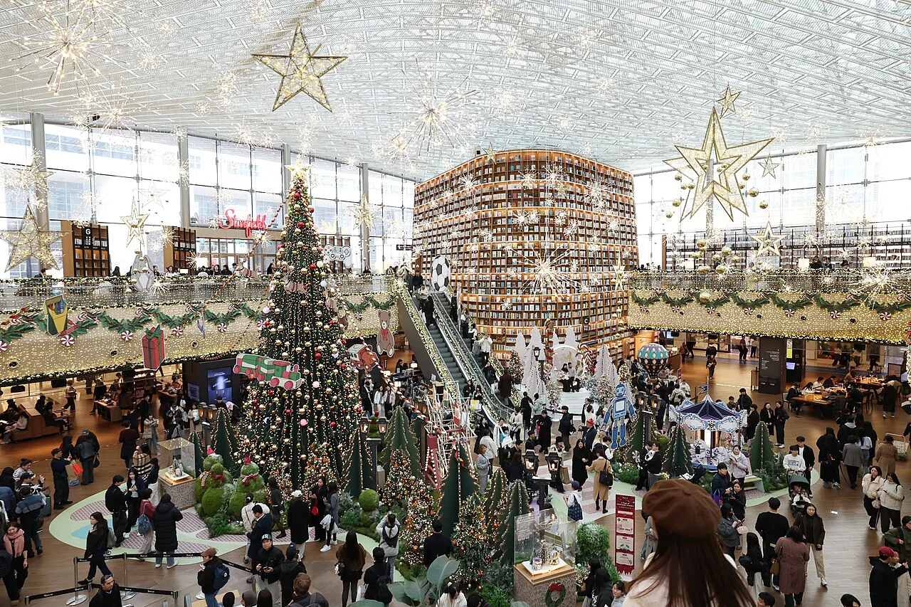
Gangnam and COEX in Half a Day (2026): Royal Tombs, Bongeunsa Temple and Starfield Library — Route With Map
October 31, 2026 | by Korea Bestie
Busan’s Seomyeon and Jeonpo Café Street (2026): A Half-Day Route With Map — Citizens Park, Cafés and Pork Soup
November 1, 2026 | by Korea Bestie
Hotels in Hongdae (2026): Where to Stay by Budget, With the Nearest Exit
October 27, 2026 | by Korea Bestie